|
Getting Here
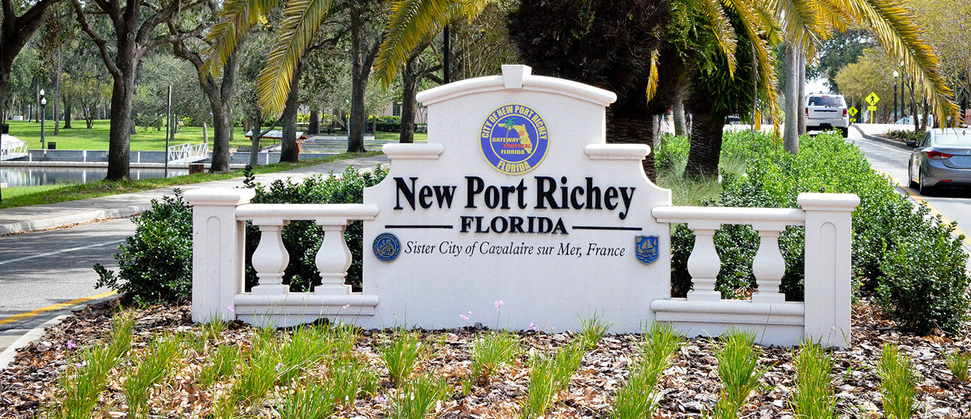
New Port Richey > Getting Here
Getting Here
- Accesibility
- Accesibility
- Administrative Division
- Apply for …
- Apps Download
- Building
- Chamber of Commerce Calendar
- City Clerk Office Staff
- City Council Staff
- City Departments
- Assistant City Manager
- Boards & Committees
- City Clerk
- City Council
- City Manager
- Development Department
- Economic Development
- Finance
- Accounting
- Billing & Collections
- Budgeting
- Business Tax Receipts
- Purchasing
- Fire Department
- Human Resources
- New Port Richey Public Library
- Parks & Recreation
- Police Department
- Police Department
- Administration Division
- Code Enforcement
- Crime Reporting
- Criminal Investigation Bureau
- Deputy Police Chief Lauren Letona
- Fingerprints
- Mental Health & Addiction Resources
- Message Board
- Police Chief Robert Kochen
- Police Lieutenants
- Police Operations Division
- Police Patrol Division
- Property/Evidence Section
- Public Service and Community Engagement
- Red-Light Camera Violations
- Unsolved Homicides & Missing Persons
- Vehicle Impounds
- Victim Advocacy
- Police Department
- Police Force Department
- Public Works
- American Water Resources Mailer
- Current Watering Restrictions
- Fleet
- Grounds and Facilities Maintenance
- National Public Works Week
- Neighborhood Clean-Up
- Neighborhood Clean-Up
- Project Management
- Public Works After Hours
- Public Works Programs
- Reclaimed Water
- Reports & Studies
- Sewer Collections
- Stormwater Utility
- Streets and Right of Way Maintenance
- Utilities Maintenance
- Waste Collection & Recycling Information
- Water Distribution
- Water Production
- Giant African Land Snail
- Muscovy Duck Population
- Technology Solutions
- City Holidays
- City Managers Office Staff
- City Online Resources
- City Online Resources
- Community
- Contact us
- Copyright Notices
- Development Staff
- Downtown Parking & Transportation
- Economic Development Staff
- Employee Benefits
- Federal, State & Local Resources
- File Directory
- Fire Emergency Services Staff
- Getting Here
- Government
- Government Calendar
- Home
- Human Resources Staff
- Library Calendar
- Library Program Proposal
- Library Staff
- Main Street Organization Calendar
- Mayor’s Office
- Meadows Park Renovation
- media-rss
- Municipal & Government Calendar
- New Port Richey Business Directory
- Notice of Cancellation of Public Hearing
- Online Utility Bill Payment
- Parks & Recreations Staff
- Parks and Facilities
- Police Staff
- Public Works Staff
- Purchasing Staff
- Quick Links
- Railroad Square Improvement Project
- Read City News
- Recreation and Aquatic Center Calendar
- Report a Blighted Building or Structure
- Rob Marlowe
- Search result
- Services
- Site Map
- Technology Solutions Staff
- Test
- Test Hubpage
- Testing Calendar
- Utilities/Billing & Collections Staff
- View …