Flood Zones
Some 900 homes within the City of New Port Richey are located in a designated flood zone where the possibility of flooding exists with every major storm. Many of those properties experienced flooding during Hurricane Irmaopens in a new window in 2017.
If your home is located near the Pithlachascotee River or any of its tributaries and canals, you can be fairly certain that you are in a flood zone. Areas west of U.S. Highway 19 are also largely in a flood zone.
Flood zones are geographic areas that the Federal Emergency Management Area (FEMA) opens in a new windowhas defined according to level of flood risk. Flood zones are shown on the Flood Insurance Rate Mapopens in a new window (FIRM), which is produced by FEMA.
Not sure if your home is in a flood zone? You can view the FIRM panel for your address at the FEMA Map Service Center opens in a new windowor visit the City’s Development Department for assistance. Copies of these maps are also available at the New Port Richey Library along with manuals explaining how to interpret the maps.
Flood Risk
Each flood zone shown on the Flood Maps describes that land area in terms of its risk of flooding. Everyone lives in a flood zone – it’s just a question of whether you live in a low, moderate, or high risk area.
High Flood Risk
Zones designated as AE, A, AH or AO Zone. These properties have a one percent chance of flooding in any year and a 26 percent chance of flooding over the life of a 30-year mortgage.
VE or V Zones. These properties also have a one percent chance of flooding in any year and also face hazards associated with coastal storm waves. High-risk areas are called Special Flood Hazard Areas, and flood insurance is mandatory for most mortgage holders.
Low or Moderate Flood Risk
Shaded X Zone. These properties are outside the high-risk zones. The risk is reduced but not removed.
X Zone. These properties are in an area of lower risk.
Lower-cost preferred rate flood insurance policies (known as Preferred Risk Policies) are often an option in these areas.
The 50% Rule
For buildings located in a flood hazard area, if the total costs of improvements equal 50% or more of the value of the building, the building must be elevated.
Flood Insurance
 Most homeowners insurance policies do not cover property losses caused by floodwaters. To insure your property for flood damage, a flood insurance policy is needed. If you rent your home, flood insurance can be obtained to insure your possessions, which typically are not covered under the property owner’s flood policy. Consult your insurance provider to learn about flood insurance types and availability.
The City of New Port Richey participates in the National Flood Insurance Program (NFIP)opens in a new window, which offers flood insurance to homeowners, renters, and business owners if their community participates in the NFIP. To participate, the City agrees to adopt and enforce local rules that meet or exceed FEMA requirements to reduce the risk of flooding. The City also participates in the FEMA Community Rating Systemopens in a new window (CRS) to enable residents to qualify for lower flood insurance premiums.
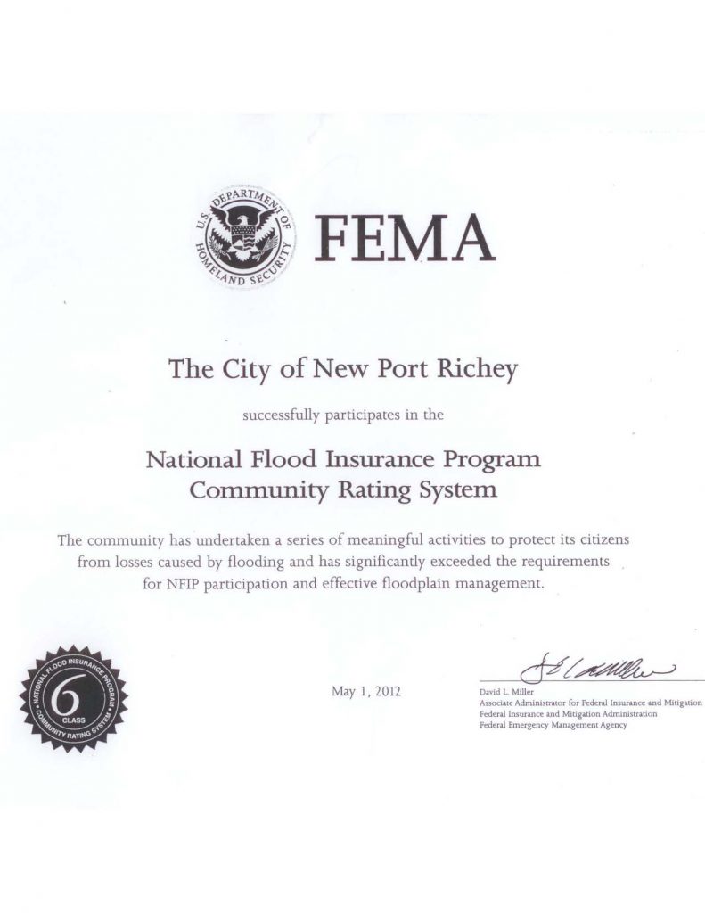
The City has consistently performed above and beyond the NFIP minimum standards. In 2012, the City’s efforts were recognized by FEMA with a Class 6 rating (effective May 1, 2012) as shown in the 2012 NFIP Certificateopens in a new window. This marks an improvement over the previous Class 7 rating held by the City. A Class 6 rating provides for automatic discounts of up to 20% for flood insurance policy holders in the City of New Port Richey! Tell your insurance agent.
By way of comparison, Oldsmar and Dunedin also enjoy a Class 6 rating, while Port Richey, Pasco County and Tarpon Springs have a Class 7 rating. For New Port Richey, this discount amounts to over $200,000 in total savings to the community.
The City’s 2017 Floodplain Management Progress Report opens in a new windowis available to review.
Stormwater Management
Flooding is more often a result of heavy rains and stormwater runoff than storm surge. The city storm drainage system is designed to collect and move stormwater away from buildings and streets. To operate effectively, drainage ways must be free of debris, refuse, and other obstructions.
City crews regularly maintain the storm drainage system to remove overgrowth and discarded items that can cause stormwater to build up and flood properties. This is why illegal dumping is a serious matter. If you see that illegal dumping has occurred, please report it to the Public Works Department at (727) 841-4544.
Maintenance of stormwater ponds and drainage ways on private property is the owner’s responsibility. If not kept in proper working order, these ponds can cause flooding on other properties.
